
Coasts & trade routes
The Saffron Strait
Two trading coasts, a narrow strait, and a neutral island.
MEDIEVAL REALMS · A FANTASYMO THEME
Create fantasy maps with 133 ready-made elements and 8 editable templates. Shape coastlines, add castles and forests, and download a parchment-style map for your story or D&D campaign.
No drawing skills needed. No sign-up required.
READY-TO-EDIT MAPS
Choose a coast, kingdom, forest, desert, or island world. Preview a full map, then customize its land, landmarks, and place names.
Coasts & trade routes
Two trading coasts, a narrow strait, and a neutral island.
Kingdoms & inland seas
Five rival powers around an inland sea, with forts and trade routes.
Forests & rivers
Forest kingdoms, branching rivers, and lakes.
Deserts & oases
Oasis towns and caravan routes across a desert.
Marshes & ruins
Wetlands, coastal settlements, and ruined landmarks.
Fjords & mountains
Northern fjords, mountain ranges, and coastal strongholds.
Kingdoms & river valleys
Medieval kingdoms linked by rivers, roads, and towns.
Islands & sea routes
An archipelago with ports, settlements, and sea routes.
EDIT EVERY PART OF YOUR MAP
Build your geography and place each detail yourself. Move, resize, rotate, duplicate, or remove elements as your map develops.
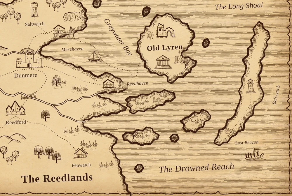
Brush coastlines, stamp islands, and remove land to form bays and lakes. Paint the land with colors and textures.
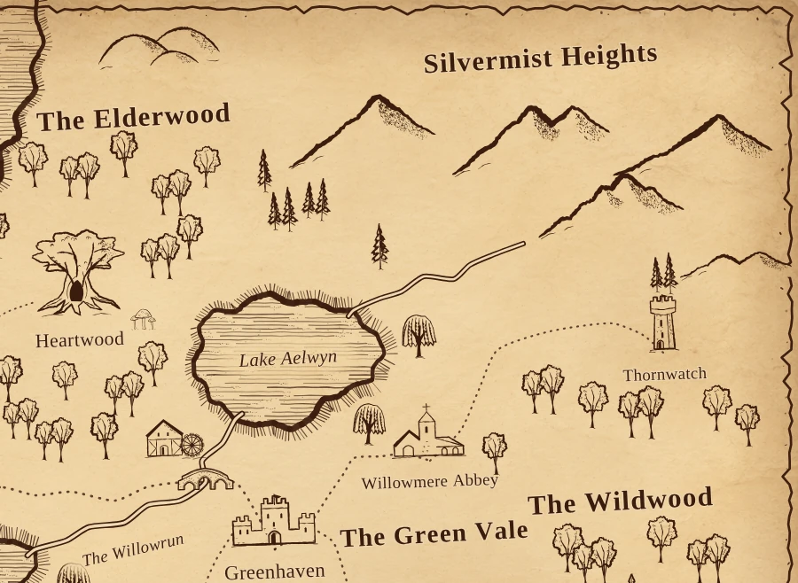
Choose terrain and nature elements from the library. Arrange mountain ranges, woodlands, hills, and marshes to fit your world.
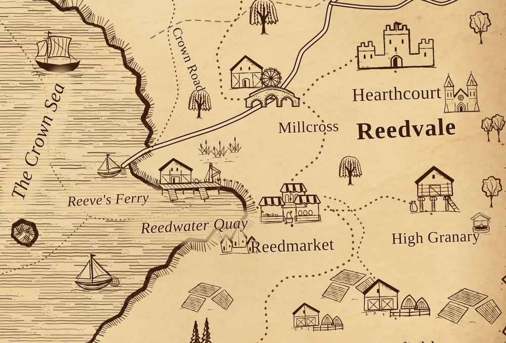
Add castles, villages, and landmarks. Connect them with roads and rivers, then label your cities, regions, and seas.
ALL INCLUDED IN THE EDITOR
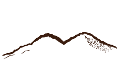
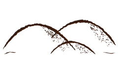
Mountains, trees, castles, villages, bridges, ships, dragons, and more. Every element can be placed and edited individually.
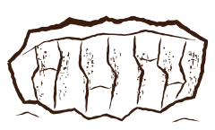
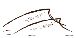
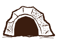
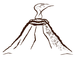
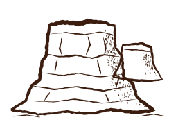
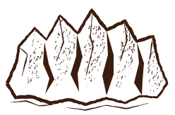
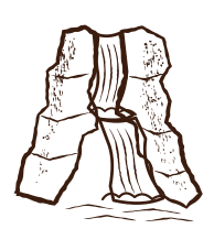
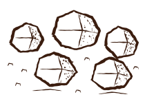
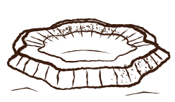
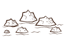
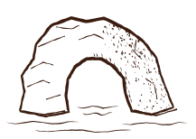
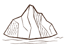
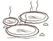
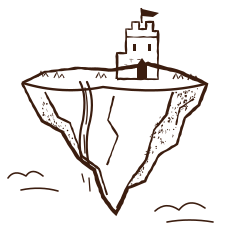
Mountains, cliffs, reefs, icebergs, and floating islands.
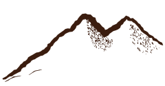
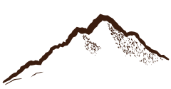
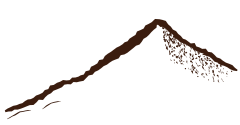
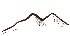
PARCHMENT, INK, AND SEA PATTERNS
Compare the same map detail in four styles. Change the paper, ink, sea pattern, and border while keeping your map editable.
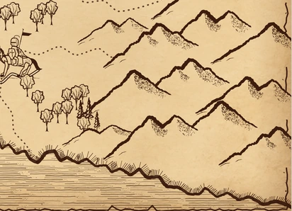
Warm paper, brown ink, and etched seas.
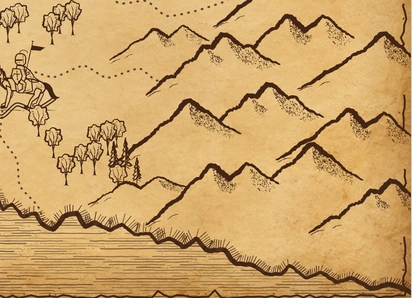
Aged paper, deeper ink, and worn edges.
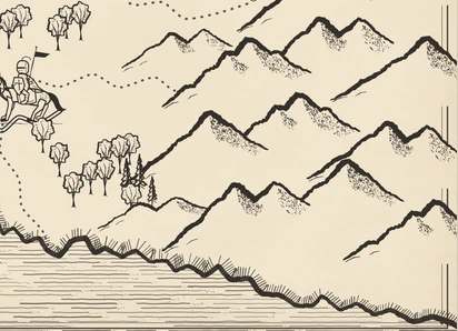
Light paper, charcoal ink, and a clean border.
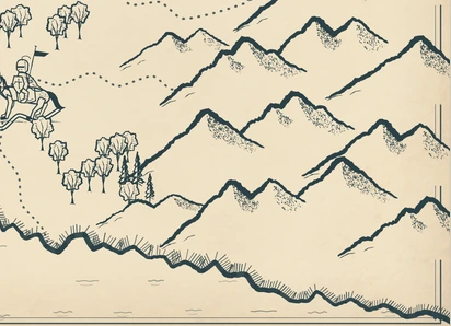
Pale paper, blue-gray ink, and wave patterns.
Fine-tune paper texture, ink color, sea patterns, and edge wear in the editor.
3 SIMPLE STEPS
Pick one of 8 editable templates, or start with a blank map and create your own land.
Place elements, draw rivers and roads, add names, and choose your map style.
Export a PNG at 1×, 2×, or 3× resolution. Save a JSON project to continue editing later.
HELP & ANSWERS
The library includes 16 terrain elements, 16 nature elements, 28 buildings and landmarks, and 20 decorations and creatures. Each is a different SVG symbol you can place and edit. Land, rivers, roads, and text labels are separate drawing tools.
Yes. Create medieval-style world and regional maps showing kingdoms, islands, towns, and travel routes. Use your map to plan a setting or help readers and players follow a journey.
No. Start with a template or use the land tools and ready-made map elements. Place mountains, forests, and castles, then add rivers, roads, and names in the editor.
Yes. All 8 templates open as editable maps. Reshape the land, move or remove elements, rename places, and adjust the map style.
No. You can open the map editor, create a map, and download it without signing up.
Your current map is automatically saved in the browser you are using. Download an editable project file to keep a separate copy. Use Open project in the editor to reopen that file, including in another browser.
Export a PNG image at 1×, 2×, or 3× resolution. You can also save an editable JSON project containing your land, materials, elements, rivers, roads, and labels.
133 map elements. 8 editable templates. 4 map styles.
Create a Map